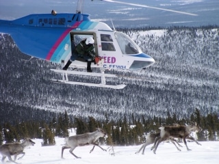
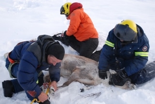
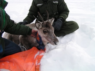
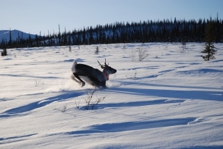
The map below is made available to the public as an educational tool and to assist community members to generally identify if Porcupine caribou are in their area. A 15-km buffer has been added to caribou locations in an attempt to strike a balance between the community requests for location information and conservation concerns related to potential increased harvesting pressure.
These maps will be delayed or discontinued if their release results in a conservation concern for the Porcupine Caribou herd.
Updated maps will be created and posted occasionally, as the work schedule of the biologists who work with the satellite collar data allows.


